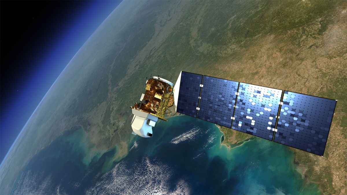
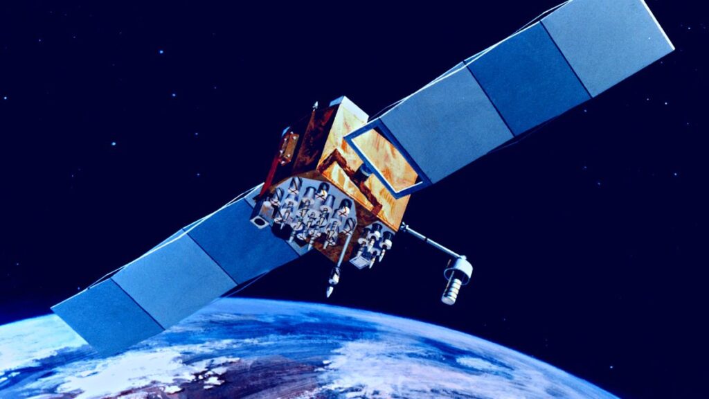
NASA’s Earth Resources Technology Satellite (ERTS) which is an Earth-imaging satellite first launched in July 1972 is now contributing to the Landsat Program conducted both by NASA and the U.S. Geological Survey. The Landsat Program’s vision is to document the whole Earth from Space. The first Landsat produced the longest record of Earth’s surface from space-eye-view.
NASA’s Goddard Space Flight Center’s director Jim Irons said, “The early Landsats revolutionized the way we observed the Earth from space.” Landsat has created approximately 10 million images so far.
Scientists have could compare the data produced by the Landsat Program of its old images to newer versions. They can pair the images of both past and present and observe considerable changes that occurred in the Earth’s crust within a particular time frame. Hydrologists and environmentalists can use the images to observe river track changes, ecological eliminations, deforestation, crop health, melting glaciers, coastal changes, and urban spaces.
Reportedly almost eight different Landsat satellites have circled the Earth within Landsat’s five-decade span. NASA has launched Landsat 9 recently in 2021 to carry on as the predecessor of the iconic Landsat Program.
According to NASA, the first-ever Landsat data recorded was on magnetic tapes like tapes used in cassettes but massive. The bulky wideband video tape recorders were sent to space on three Landsat containing almost 1,800 feet of tape weighing as 76 pounds apiece. Scientists printed out photographic images from the data which gave them a space-eye-view of an area.
Later on, with the help of computer algorithms, scientists could generate more efficient data to identify the categories of land cover. They printed the data in the format of maps with letters, numbers, and symbols representing a land cover category such as cropland or forest.
A scientist from NASA said, “You’d get out colored pencils or magic markers and you’d color the different characters, each with its own color. That would give you an early version of a color-coded land cover map.”
In the year 2020 Landsat has generated approximately 100 million scenes from the space-eye-view of our Earth and the number is expected to rise as NASA is preparing for its next project.

Astronomers detect first direct image of black hole expelling a powerful jet
Artificial Intelligence Discovers Hidden Giant, a Planet 5 Times Larger Than Jupiter

Scientists explain melting of Antarctic ice sheet dating back 9,000 years

An Unexpected Discovery: Hubble, ESA's Gaia Spot Double Quasar That Existed Over 10 Billion Years Ago
Astronomers detect first direct image of black hole expelling a powerful jet

WhatsApp rolling out ‘reply with message’ feature within call notifications

Multi-Device Pairing May Be Arriving for Apple Watch this Year